Geospatial Mapping and Remote Sensing Services
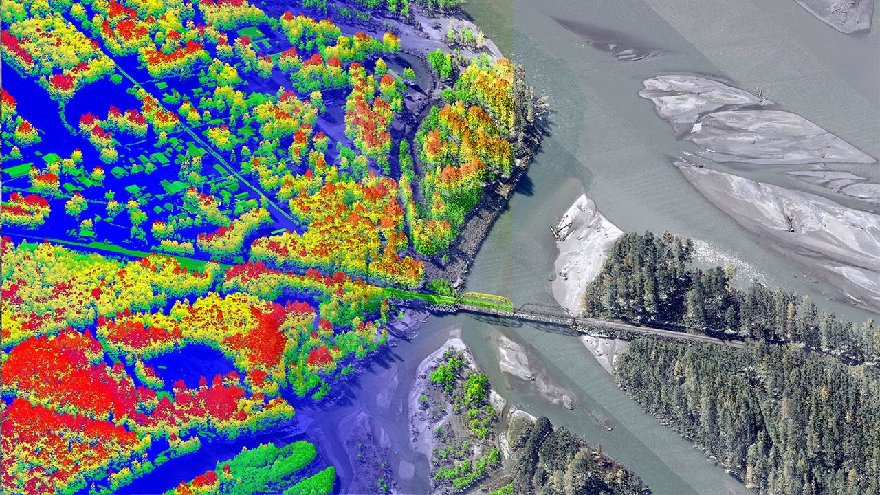
Tetra Tech’s geomatics group offers integrated mapping and remote sensing solutions using advanced airborne and mobile systems to deliver accurate geospatial data for planning, design, and decision-making worldwide.
We provide mapping and geospatial services that help clients collect accurate data and turn it into clear, useful information. We handle every phase of the project, from initial data capture through analysis and delivery, helping our clients make informed decisions. Our teams combine advanced tools with practical experience to deliver reliable results, even in complex environments. Our approach helps clients work more efficiently, reduce risk, and better manage their projects and assets.
Airborne Topobathymetric Surveying and Mapping
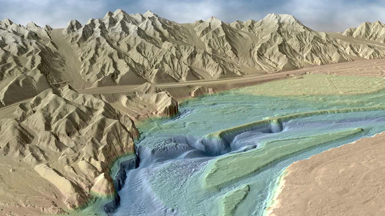
Tetra Tech owns and operates a Teledyne CZMIL SuperNova topobathymetric LiDAR sensor. Our work spans coastal bathymetry, near-shore topography, riverine environments, and inland water bodies, producing seamless, high-resolution 3D datasets while reducing data collection time and costs.
- Integrated topographic and bathymetric data collection
- Rapid mobilization and wide-area airborne data acquisition
- Efficient coverage of shallow-water environments
- No on-water vessels required
- High point density on land and in water
- Integrated RGB+IR digital camera for concurrent aerial imagery
- No costly co-collects
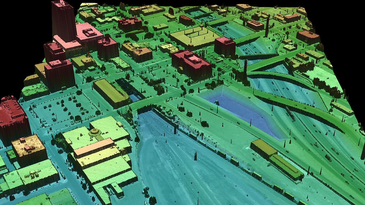
Light Detecting and Ranging (LiDAR) Scanning
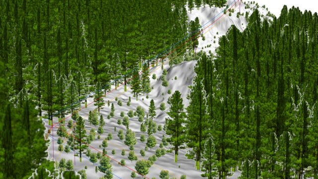
Our experienced LiDAR specialists transform high-density point cloud data into precise mapping and modeling products. We generate detailed terrain and surface information for engineering, infrastructure, environmental, and resource management projects using advanced processing techniques. From data collection through final deliverables, we provide design-grade geospatial solutions that help clients plan, design, and manage projects with confidence.
- Airborne, terrestrial, and mobile LiDAR data acquisition
- Digital terrain and surface modeling (DTM/DSM)
- Feature extraction and classification
- LiDAR and photogrammetric data integration
- Corridor, infrastructure, and asset mapping
- 3D visualization and geospatial analysis
- Custom GIS-ready deliverables and datasets
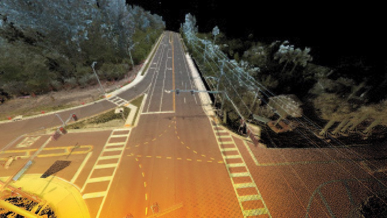
Mobile Mapping (3D & LiDAR)
Mobile LiDAR provides a fast, efficient alternative to conventional surveying methods, capturing high-density data with exceptional accuracy. Our systems collect millions of points per second while simultaneously capturing 360-degree RGB imagery to create detailed mapping products. Vehicle-, vessel-, backpack-, and tripod-mounted platforms enable rapid data collection across diverse environments.
- Building information modeling (BIM)
- Digital twins
- 3D facility andinfrastructure scanning
- Indoor mapping
- Surveys for utility, mining, oil, and gas companies
- Road and pavement condition surveys
- Asset management
- Design engineering
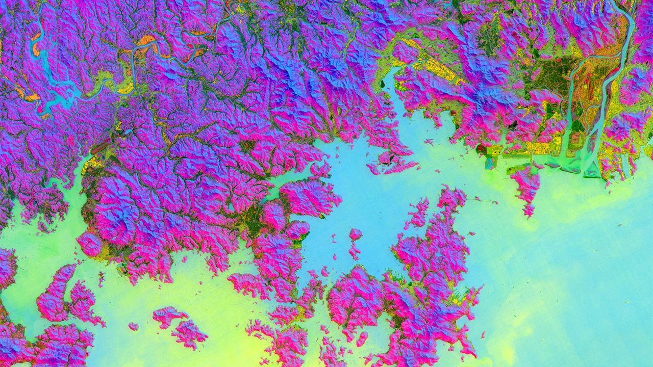
Hyperspectral Imaging
Our team specializes in the acquisition, processing, and analysis of hyperspectral imagery, collecting detailed spectral information across hundreds of contiguous bands within the electromagnetic spectrum. This advanced technology enables precise material identification and feature extraction for agricultural, environmental, forestry, geologic, and resource management applications.
- Airborne and satellite hyperspectral data collection
- Spectral calibration, correction, and image processing
- Material identification and spectral signature analysis
- Vegetation mapping, precision agriculture
- Mineral and oil exploration
- Environmental monitoring and contamination detection
- Advanced classification, machine learning, and GIS integration
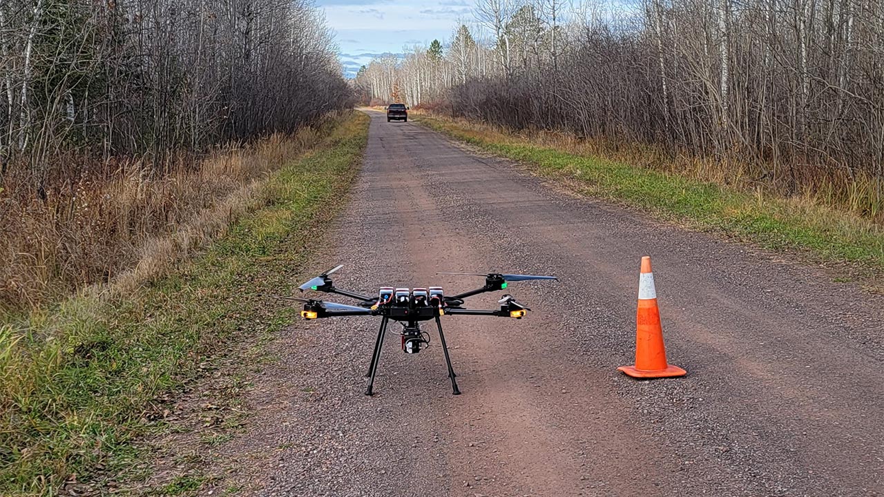
Unmanned Aerial Systems (UAS)
Our certified UAS pilots deploy fixed-wing, multirotor, and heavy-lift NDAA-compliant platforms equipped with advanced imaging and sensing technologies to acquire high-accuracy geospatial data. Using industry-leading photogrammetric processing techniques, we generate precise mapping products that support surveying, engineering, environmental assessment, infrastructure management, and resource development projects.
- UAS mission planning and data collection
- Photogrammetric processing and quality assurance
- Orthophoto production
- 3D point clouds, mesh models, and reality capture solutions
- Digital terrain and surface model generation
- Volume calculations and stockpile analysis
- Progress monitoring and change detection workflows
- Engineering, utility, transportation, and environmental mapping applications
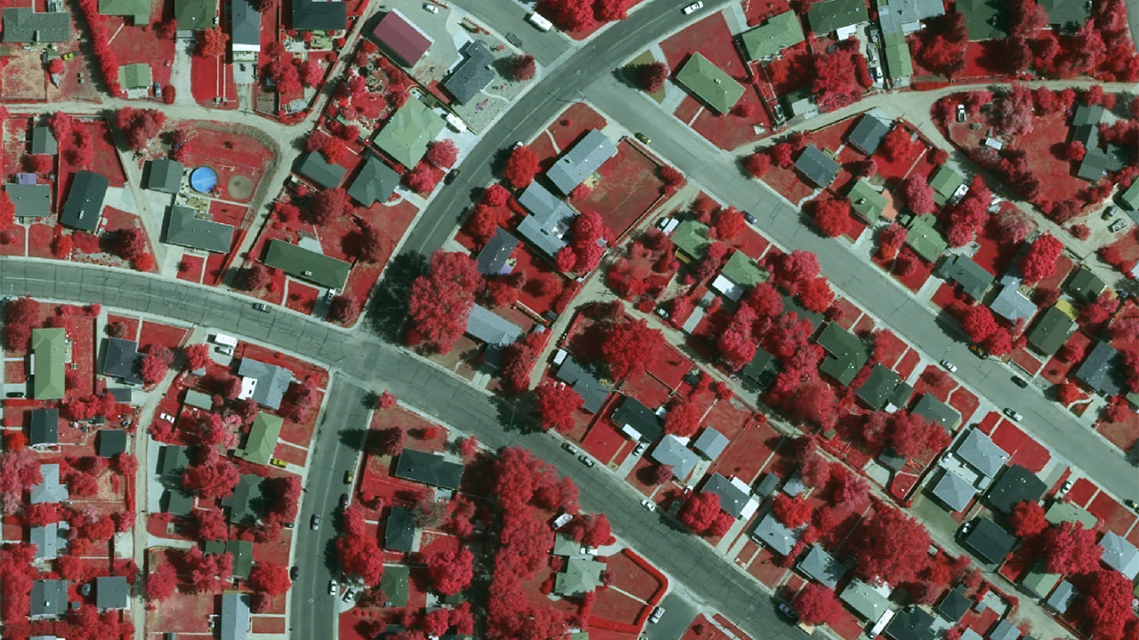
Aerial and Satellite Imagery (Orthoimagery)
We have extensive experience in producing and analyzing high-quality orthoimagery, digital camera, or film-based acquisition that can be used as a basemap for both visual interpretation and engineering design.
- Digital and film-based aerial image acquisition
- High-resolution true-color and multispectral satellite imagery
- Orthorectification, image mosaicking and analysis
- Change detection, land use, and environmental analysis
- Landfills, Infrastructure planning, corridor mapping, and engineering support
- GIS-ready imagery products and basemaps
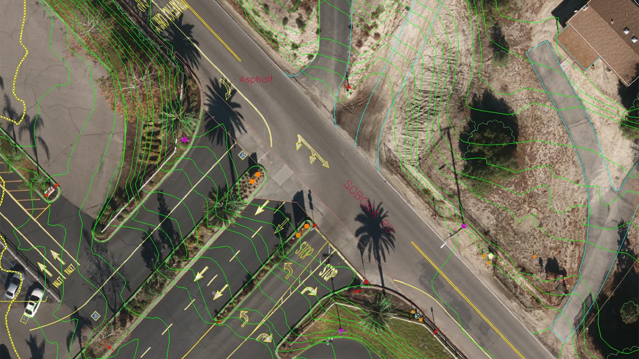
Topographic and Planimetric Mapping
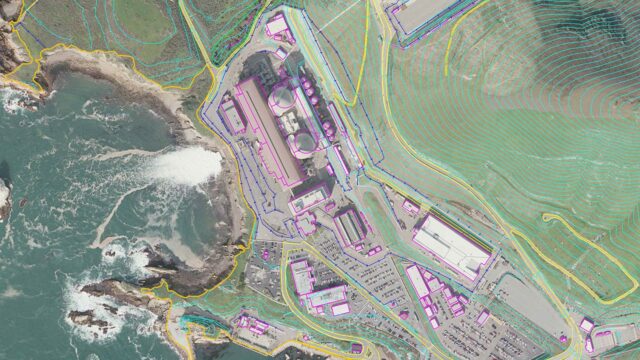
Our mapping professionals produce accurate topographic and planimetric datasets to support planning, design, and engineering projects. Using advanced surveying, LiDAR, and photogrammetric techniques, we create detailed maps, contours, and feature classifications tailored to project requirements. Deliverables are customized to meet client specifications, standards, and preferred file formats to ensure seamless integration into project workflows.
- Topographic mapping and contour generation
- Planimetric feature extraction and inventory
- Engineering- and design-grade mapping products
- GIS- and CAD-ready file formats
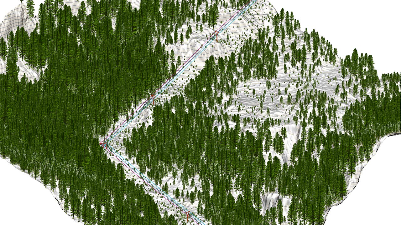
Geographic Information Systems (GIS)
Our GIS experts deliver innovative geospatial solutions that integrate, manage, analyze, and visualize spatial data to support informed decision-making. Utilizing the latest Esri technologies and open-source GIS platforms, we develop scalable solutions for asset management, infrastructure planning, environmental monitoring, utility operations, and enterprise-wide geospatial initiatives.
- Enterprise GIS strategy, implementation, and governance
- Spatial database design
- GIS data conversion, integration, and quality control
- Web mapping applications and mobile GIS solutions
- Geospatial analysis and decision-support modeling
- Asset management and infrastructure mapping
- Custom workflows, scripting, and process automation
- Cartographic products, dashboards, and executive reporting
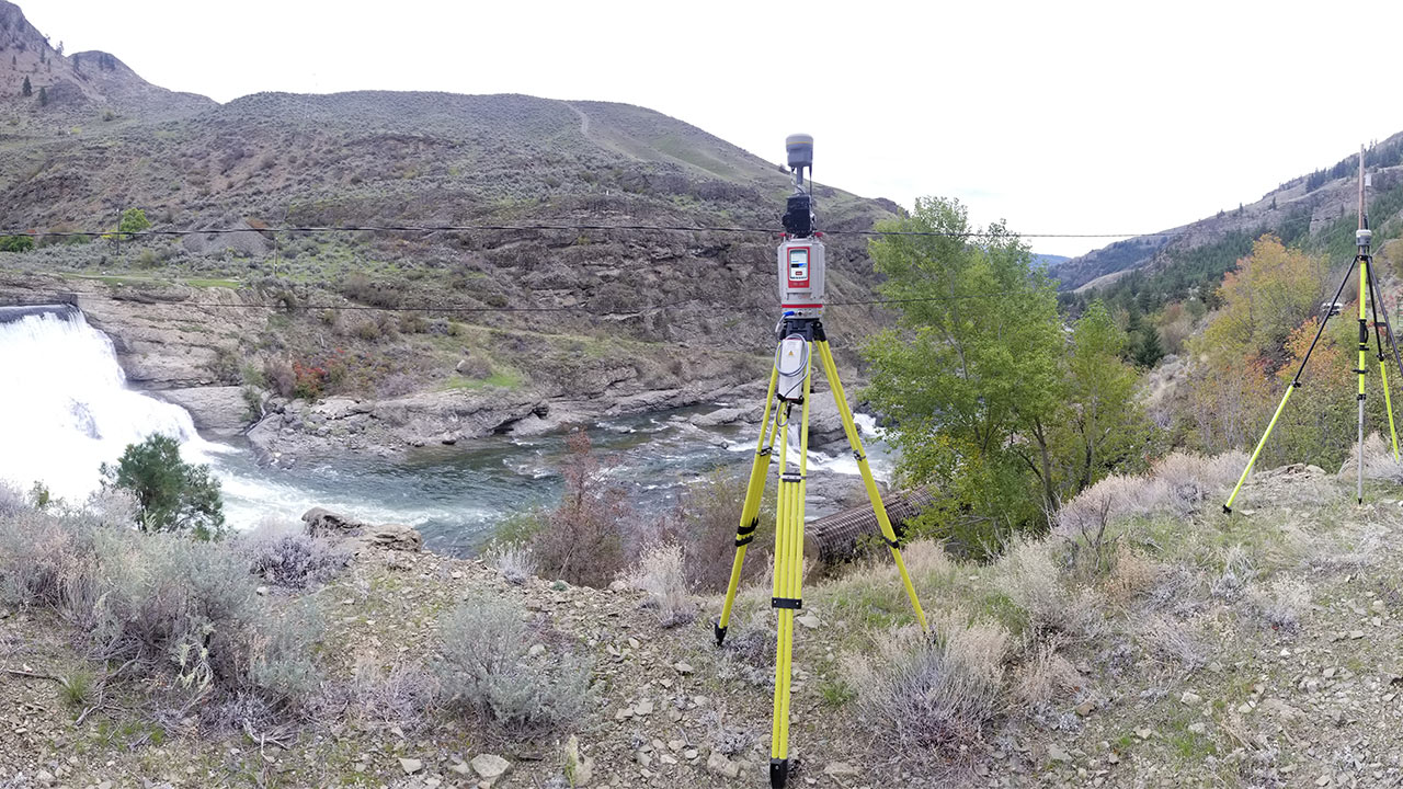
ALTA and Land Surveys
We provide accurate and dependable ALTA/NSPS land title surveys, boundary surveys, and land development survey services for commercial, industrial, utility, transportation, and public-sector projects. Our team combines modern survey technology, GIS integration, and rigorous quality standards to support due diligence, design and construction initiatives.
- ALTA/NSPS land title surveys
- Boundary determination and property line staking
- Easement, right-of-way, and utility corridor mapping
- Topographic surveys for engineering and design
- Construction layout and as-built surveys
- Survey plats, legal descriptions, and permitting support
Connect with us. Reach out to our geomatics group.