Autoplay settings
Off On

Projects

Acquiring Deep Geological Data with Schönkirchen 3D Seismic Survey

White trucks carrying surveying equipment, lined up at the edge of a field in a rural landscape

This major onshore seismic survey acquired deep geological data under a mature producing oilfield. It overcame significant environmental and time constraints.

Challenge

This was a major onshore 3D seismic survey in the Vienna Basin for OMV Austria.

The detailed 3D study covered a variety of environmentally sensitive areas. There were many roads and villages, an operating oil field and large expanses of farmland, including commercial vineyards.

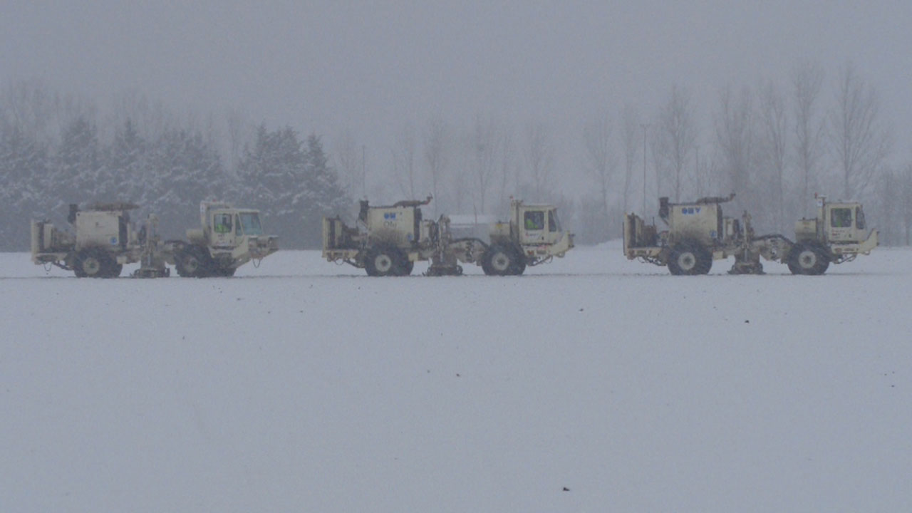
To avoid causing damage to crops, the survey was planned for the winter months and had to be completed before farmers commenced work again in the spring.

Technically the geologic target was deep, and the aim was to acquire a high-quality full azimuth dataset at a reasonable cost.

Solution

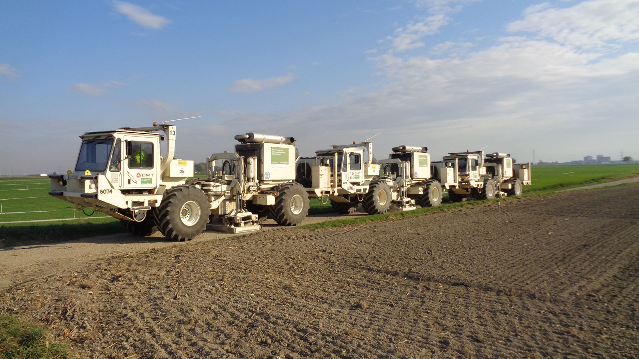
The programme used innovative techniques to acquire the seismic data. These included the use of a cable-free nodal recording system to minimise the physical impact of the survey, and four fleets of seismic vibrators operating in “slip sweep'” mode to maximise production.

Benefits

  • 12 km2 receiver template
  • 52,000 source points
  • 577 km2 receiver area
  • 0 LTIs or reportable HSE incidents

At a glance

Client

OMV Austria Exploration and Production GmbH

Completion date

2018 March

Location

Vienna Basin, Austria

Services

HSE supervision / project management, seismic QC supervision, technical audit

Trucks carrying seismic surveying equipment lined up in a snowy landscape

Connect with us. Reach out to our offshore energy experts in the UK and Europe.

The project featured in this article was undertaken by RPS, A Tetra Tech Company and originally published on RPSgroup.com. In March 2026 RPS rebranded to Tetra Tech.

Related highlights

A lake reflecting a sunset and clouds surrounded by a tropical landscape

Delivering Onshore 3D Seismic Acquisition in Suriname

Members of a local tribe in traditional dress walk through an open savannah landscape

Conducting an Environmental and Social Impact Assessment (ESIA) in Kenya

Aurora Borealis above snow-covered mountains with sea in the foreground

Optimising Baseline Seismic Survey Data Acquisition for Northern Lights CO₂ Transport and Storage

An aerial view of industrial buildings alongside a river with cooling towers of a power plant in the distance

Optimising Baseline 3D Seismic Survey for the Northern Endurance Partnership’s CCS Project

Colorful Oil Rig Platform Supply Vessel Ships Lined up in the Bergen, Norway harbor

Capturing Reliable Data with 4D Seismic Monitoring for Sleipner West Carbon Capture Storage

Delivering on Kosmos’ Global Seismic Acquisition Projects with a Consistent Team

Delivering on Kosmos’ Global Seismic Acquisition Projects with a Consistent Team

Scroll to Top