Tetra Tech’s Tony LaPierre, technical director, confirms why a single ultra-high resolution 3D (UHR3D) seismic survey is a pragmatic approach that reduces uncertainty, cost, and delays for offshore wind projects.
In North America, there has recently been a rapid expansion of offshore leasing for wind farms and, with it, increased demand for subsurface surveys required during the planning and permitting phase. However, the current approach, dating back to the 1970s, requires multiple surveys.
The current approach
The planning and permitting of an offshore windfarm requires several site characterization surveys that evaluate the impact of seafloor and sub-seafloor conditions on the proposed project’s installation, operation, and structural integrity.
A subsurface engineering ground model, also known as a 3D geologic model, is created from the data sets, and integrates geophysical and geotechnical data. This model continues to be developed during the planning phase as geophysical surveys and targeted site investigations are performed.
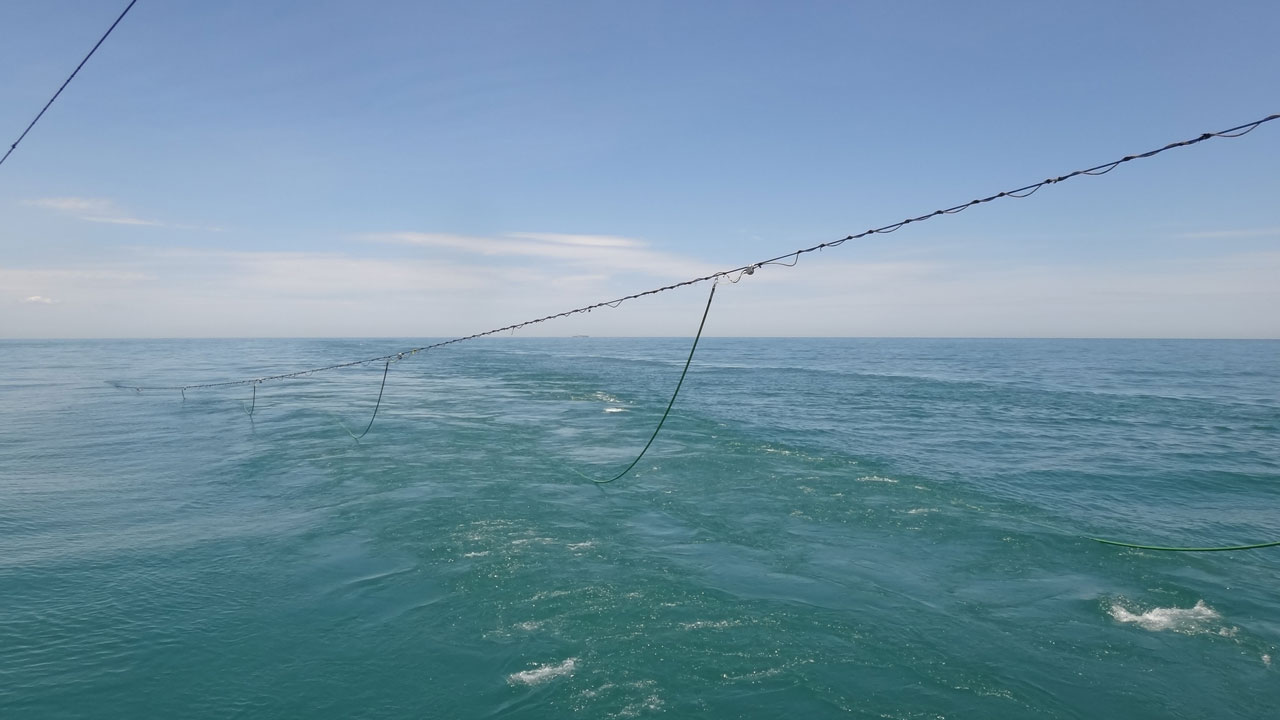
Generally, the required site investigation surveys include several progressive phases, where the preceding phase informs on the following phase. Typically three subsurface data sets are collected using Sub-Bottom Profiler (SBP), Single Channel Seismic (SCS) and Multichannel Seismic (MCS) methods. This approach hasn’t changed much since the 1970s, and it has significant limitations in spatial aerial coverage and resolution. As a result, it does not provide a complete, continuous picture of the shallow subsurface. Having the complete picture is paramount to the interpreter for accurately characterizing the subsurface and identifying potential hazards.
A new approach: UHR3D
Recent advances in survey and processing technology allow for UHR3D surveys to be acquired. This advanced method has the potential to greatly enhance subsurface resolution and reduce uncertainty, cost and delivery timeframes. Tetra Tech has substantial expertise in the design, supervision, processing oversight and interpretation of UHR3D data sets.
While a relatively new approach, we recognize the potential of this method for offshore wind and we believe UHR3D should be considered given the rapid rise of offshore leasing permits and the increased demand for site investigation surveys. This is a pragmatic approach to subsurface surveys which may ultimately help to speed up the development of offshore wind farms in the USA.
The advantage of UHR3D is that it can capture the three-dimensional nature of both the seismic wavefield and the geologic features of interest. It enables the accurate imaging of subsurface features in their actual locations and uses multiple additional hydrophones to boost the signal-to-noise ratio, enhancing vertical resolution over 2D systems. Another advantage of 3D seismic is that it covers the entire area of interest, eliminating holes and gaps and providing the full picture for interpretation, modeling, and design purposes.
Reducing uncertainty, cost, and project delays
One survey utilizing UHR3D seismic, in conjunction with the high-resolution geophysical surveys required by BOEM, including sub-bottom profiler, side-scan sonar, multibeam echosounder, and magnetometer, can be run simultaneously. Data points along the lines of planned wind turbine generator infrastructure are gathered instead of only at the 2D line locations which eliminates migration issues from 2D seismic data, reducing uncertainty when evaluating infrastructure location.
A single UHR3D survey removes the need for multiple mobilizations, reducing additional mobilization costs and the requirement for multiple survey permits. It is suitable for initial Phase I site investigation planning purposes and geohazard identification. It is also much more detailed and robust than a reconnaissance survey.
When the most resolute data is collected first, a geophysical seismo-acoustic ground model can be developed that won’t need to be progressively updated with additional geophysical data from additional surveys. The utilization of UHR3D seismic front-end-loads the formulation of the engineering ground model and thereby can significantly reduce the timeline for this aspect of offshore wind farm development.
An enhanced 3D ground model also reduces geological and geotechnical uncertainty. This reduction in uncertainty reduces the number of cone penetrating test (CPT) locations and boreholes required, allowing for a targeted approach to ground-truthing to be applied. Reducing CPT and boreholes required substantially cuts geotechnical investigation time and costs.
The result of the ‘one and done’ approach over multiple surveys is reduced uncertainty in infrastructure location determination, reduced cost of multiple offshore mobilizations, and reduced delays.
Connect with us. Reach out to our offshore energy experts in the UK and Europe.
About the author
Tony LaPierre
Tony LaPierre is a technical director for seismic operations and site investigations, based in Houston, Texas.
Tony holds degrees in Geology BSc (Hons) and Engineering (MASc). He is responsible for seismic and site investigation consultancy services worldwide and has more than 35 years of geophysical industry experience.
His team of technical experts project manage and supervise geophysical and geotechnical projects, working on some of the world’s largest and most complex exploration seismic and geotechnical projects. He has presented papers at geophysical and geological conferences in Cairo, Copenhagen, Dublin, Halifax, Houston, and Moscow. Tony has a deep understanding of what is required in the field based on his extensive experience in offshore marine seismic and seabed studies.