Geospatial
Tetra Tech provides precision-driven geospatial solutions to help clients make informed decisions across infrastructure, environmental, and development projects.
Tetra Tech delivers accurate, data-rich geospatial surveying services using the latest technologies, including unmanned aerial vehicles (UAVs), 3D laser scanning, and mobile mapping systems. Our integrated approach enables clients to collect, store, analyse, and visualise location-based data anytime, anywhere. By blending interactive web and mobile tools with robust database management, our solutions turn raw information into 2D and 3D CAD drawings, 3D models, live web maps, dashboards, and reports that drive collaboration and informed decision-making across your organisation.
As an ESRI partner and industry leader in the ArcGIS technology stack, we specialise in customising and deploying advanced solutions, such as ArcGIS Indoor GIS Specialty and Utility Network data models to meet your unique operational needs. Our team’s deep domain expertise makes sure every implementation is scalable, secure and optimised for your workflows. With a commitment to quality, safety, and sustainability, our geospatial experts support every stage of the project lifecycle. Whether for planning, design, construction, or asset management, we provide reliable, spatially accurate data tailored to each client’s goals.
UAV and Aerial Surveys
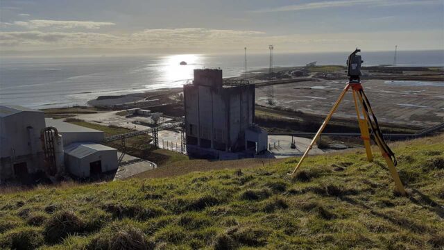
We use UAVs and aerial systems to gather high-resolution spatial data safely and efficiently over large or inaccessible areas. This data is used as base maps and surface models for planning and siting projects as well as for asset mapping and design engineering.
- UAV based LiDAR
- Orthophotography and digital surface models
- Volumetric and cut/fill analysis
- Heritage and archaeological mapping
- Thermal imaging for environmental applications
Reality Capture and BIM (Scan-to-BIM)
Our 3D laser scanning services capture complex environments in precise detail to create digital representations of physical assets. This enables clients to make data-driven decision making in a 3D environment with rich asset data. We use the latest high-resolution laser scan equipment to provide our clients with a range of services.
- Building information modelling (BIM)
- Scan-to-BIM
- 360 pano photo tours
- Heritage asset recording
- Structural deformation monitoring
- Clash detection and spatial analysis
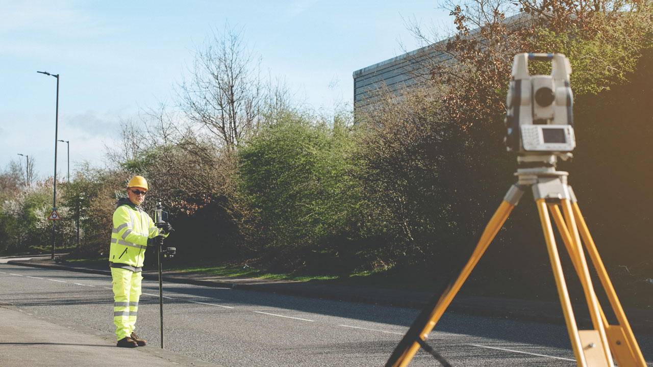
Topographic Surveys
Our experienced geospatial surveyors deliver detailed topographic data to support site planning, design, and engineering works.
- 2D and 3D topographical surveys
- GNSS control establishment
- Digital terrain and / or surface models (DTM / DSM)
- Ground modelling and contour mapping
- Construction setting-out and verification
- Boundary and cadastral surveys
Underground Utilities Surveys
We utilise the latest in utility mapping technologies to locate underground utility and service routes including electricity, gas, water, telecoms, and drainage.
- Ground Penetrating Radar (GPR)
- PAS128 surveys
- Drainage CCTV surveys
- Manhole detail surveys
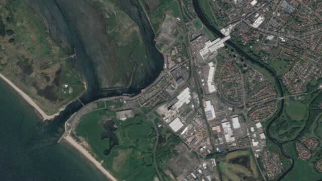
Hydrographic and Bathymetric Surveys
We provide water-based geospatial solutions to map rivers, lakes, estuaries, and marine environments.
- Single-beam and multi-beam sonar surveys
- River morphology and sediment transport
- Flood modelling inputs
- Environmental and habitat assessments
GIS and Data Management
Our specialist skills and experience are used to support a wide range of projects. Where needed, we use drone technology to perform high-resolution, remote inspections that improve access to hard-to-reach assets while reducing risk and cost.
- Data management and automation
- Smart field-data collection
- Advanced data analytics
- Data visualisation, dashboards, and web mapping
- AI and machine learning services
- Indoor GIS Mapping (CAD/REVIT to GIS)
- Utility Network Manager