Tetra Tech worked with Québec City, Québec, to design and implement cost-saving flood protection solutions using real-time control (RTC) with forecasting capabilities.
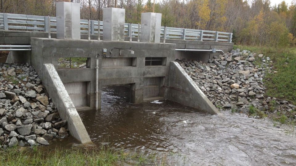
Following Hurricane Rita in September 2005, the Lorette River flooded the Wilfrid-Hamel Boulevard area. Tetra Tech prepared the Lorette River Drainage Master Plan for the City of Québec and designed and implemented an RTC solution that controls flooding conditions for a centennial storm event. The solution decreases flood occurrences in developed areas, tributary streams, and along the Lorette River for both existing and future conditions.
Benefits
- Flood control covering a 26-square-mile area for a centennial storm event
- Minimized footprint of retention basins to less than 12.4 acres (5 hectares) to reduce permitting burden
- RTC system accounts for travel time and hydrologic time of concentration between one and three hours
- Real-time modeling provides a 12-hour flow trend based on weather radar forecast
The use of RTC ensures effective operation of the flood protection system and significantly decreased construction costs by reducing retention basin size. The flood protection solution includes two 26-million-gallon (100-thousand-cubic-meter) retention basins along the two main tributary creeks, as well as new pumping stations and control of storage location gates to secure hydraulic levels in the downstream urban sectors of the Lorette River.
The RTC solution uses data from sensors and rainfall forecasts to predict future flows using a real-time hydraulic model that looks more than 12 hours into the future. The RTC system operates components of the stormwater management infrastructure to optimize the system performance, changing system settings at the right time to ensure the rainfall/hydraulic peak response is caught in storage, and thereby preventing sensitive areas from flooding. System information is communicated via a comprehensive chart tool for the benefit of system operators and the City’s administrative and emergency staff.