Eric Woolery is the airborne acquisition manager with Tetra Tech’s Geomatic Technologies Group. His background is in geospatial data collection, focusing on operating and maintaining airborne imagery and LiDAR sensors. He has nine years of experience with airborne sensor operations.
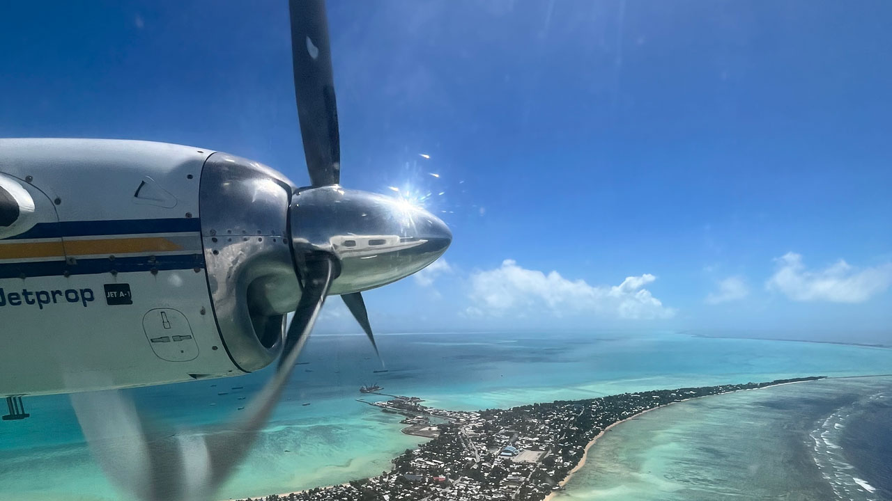
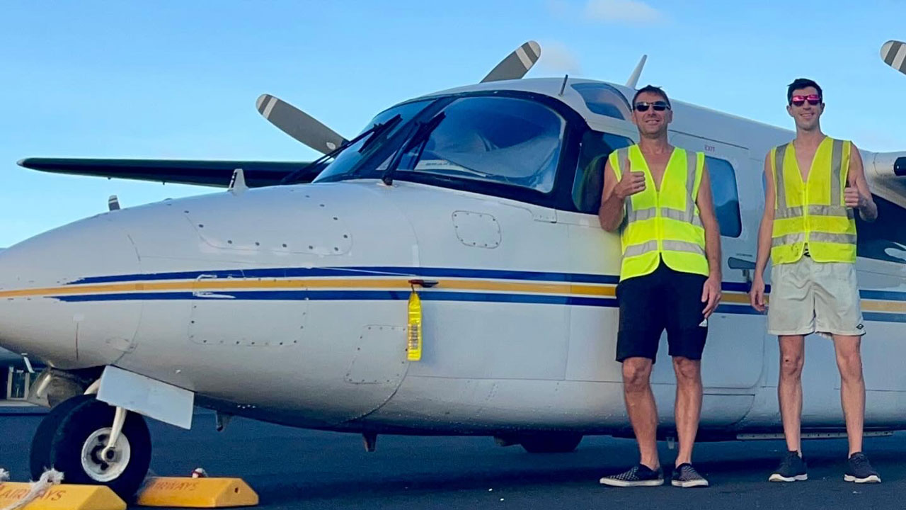
He was part of the Tetra Tech team that completed an award-winning comprehensive hydrographic survey in the remote Republic of Kiribati in the Central Pacific. The team’s work using the CZMIL SuperNova topobathymetric LiDAR sensor earned the 2025 MAPPS Data Acquisition and Processing Award, Member Choice Award, and Grand Award.
Eric holds a Bachelor of Science in Geographical Sciences from the University of Maryland, College Park.
We talked with Eric about the essential role of geospatial data in creating safer infrastructure and more resilient communities.

What inspired you to get into your field?
I became interested in social studies and geography at a young age. My parents gave me a childhood full of travel and geographical history lessons. When I was 10, a cartographer visited my class with a map that he generated using a computer and told us that the mapmaking industry was about to undergo a leap forward in technological progress due to “GIS.” I was intent on taking part in some fashion. While at the University of Maryland, I was given a more complete picture of the geospatial industry and decided that I wanted to take part in field work, specifically as an airborne sensor operator.
What impact do your projects have on the communities where you work?
The projects I am involved with at Tetra Tech have a wide range of impacts on the communities where we work. The data our Geomatics Group collects can be used to improve the coastal resilience of an area, support energy infrastructure, and improve roadway or communications infrastructure for local populations.
Using the CZMIL SuperNova topobathymetric LiDAR sensor, I take part in the surveying of shorelines, seafloors, and inland terrain for various purposes, including for undersea cables or pipelines, offshore wind installations, reservoirs, streams and rivers, or entire islands. The SuperNova uses a green laser to penetrate the water column as deep as the water clarity will allow. It is paired with red laser to survey dry land, an RGB camera to collect visible light imagery, as well as a near infrared camera. Combined, these sensors can provide a full picture of the habitats we survey, which is vital for decision-making, planning, engineering, and permitting.
How have you leveraged technology to accelerate and optimize the impact of your projects?
Every stage of a topobathymetric LiDAR project requires leveraging technology to function at optimal efficiency. We use NOAA weather forecasting services to pick the best acquisition dates based on weather events and predicted water clarity. Once we’ve mobilized, we use aviation and marine weather forecasting sites and VHF radios to make daily go or no-go decisions, as well as satellite derived bathymetry sources to monitor weekly outlooks.
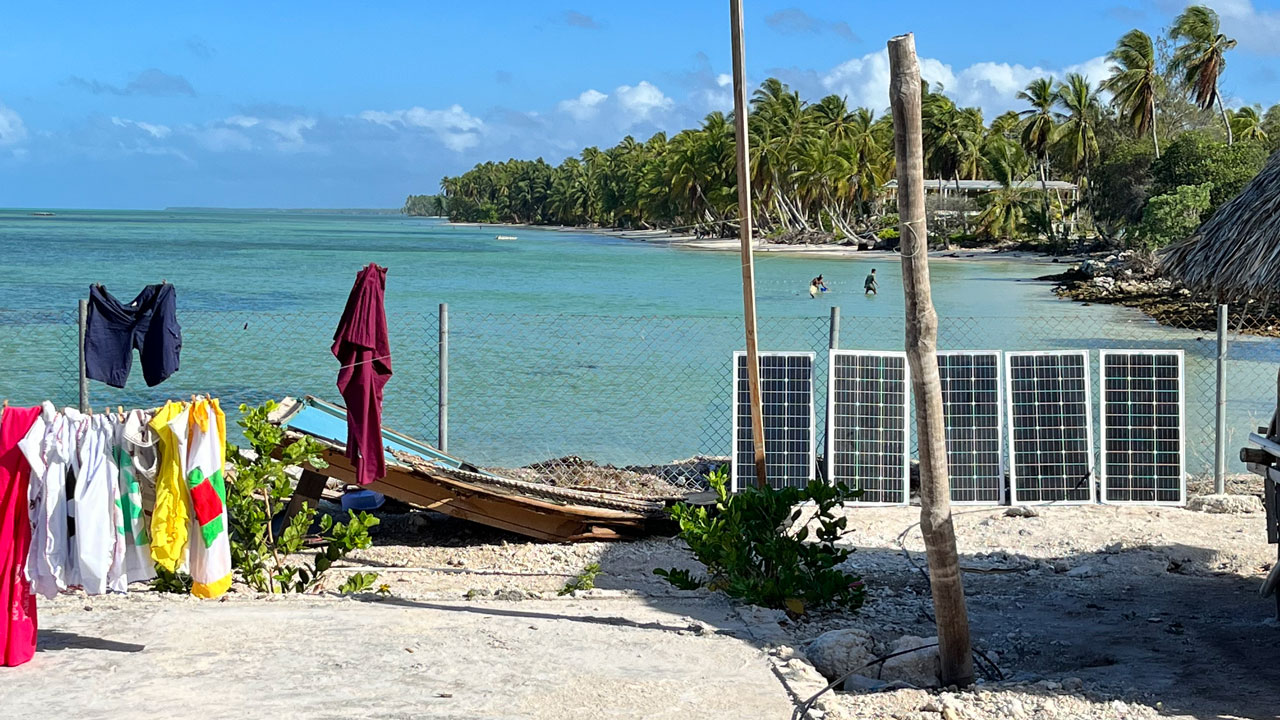
The combination of portable satellite communications and renewable energy sources enables our team to make the most of weather windows in remote locations while minimizing the resource burden on local populations.
We use satellite messengers, phones, and internet to stay connected to colleagues without having to deploy a large team to distant locations. Satellite technology also enables remote LiDAR data quality control by colleagues back in the office. Our Geomatics Group has developed scripts that allow the bathymetric LiDAR field crew to quickly ensure there are no gaps in coverage.
For our award-winning comprehensive hydrographic survey of atolls in the Republic of Kiribati in the Central Pacific, a small solar array and battery bank was transported with the survey aircraft to the outer islands to power our data copy and QC station. The equatorial environment was ideal for relying on solar power, and we donated the array and batteries to the Kiribati locals after our work was complete.
Tell us about a project you’ve worked on at Tetra Tech that has been inspirational to you.
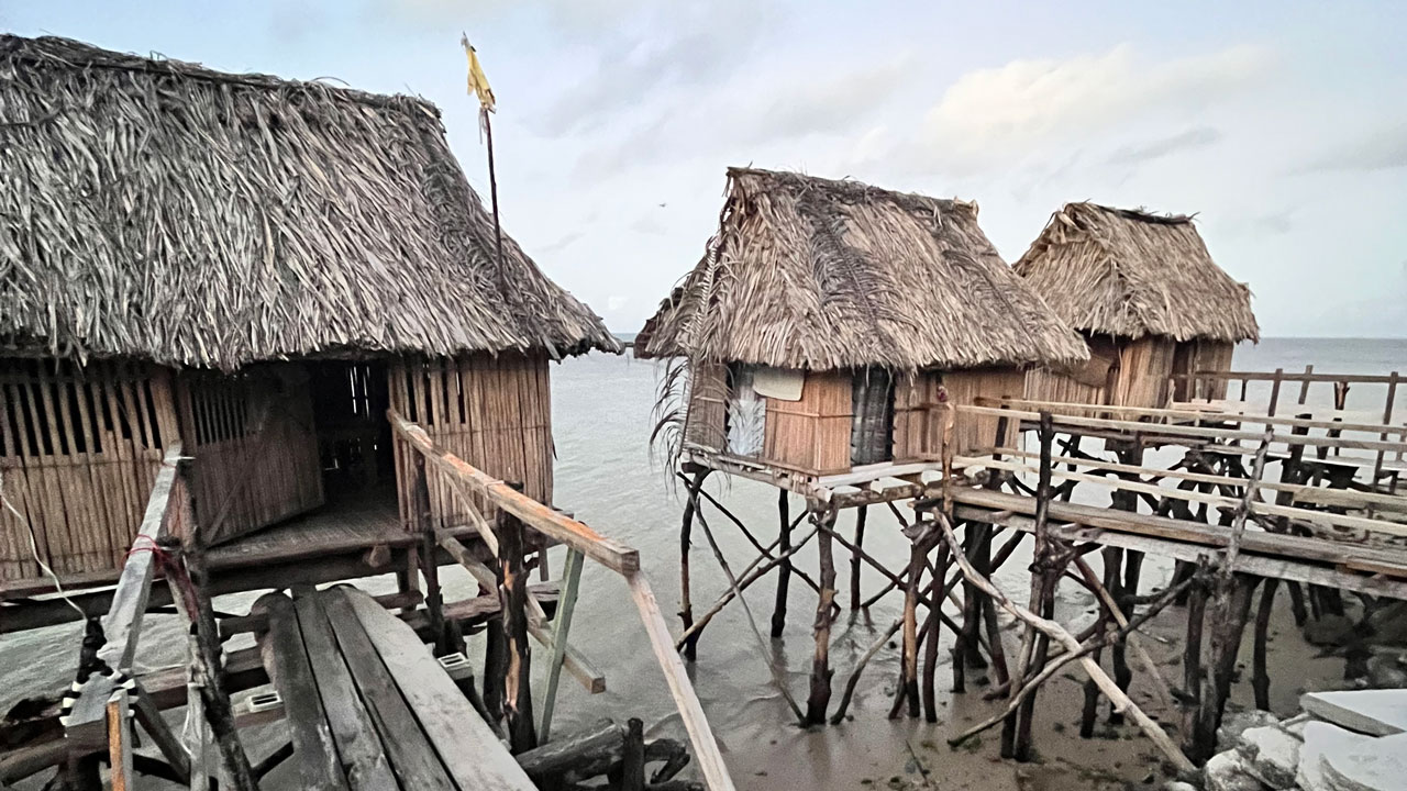
The Kiribati work is the best example of an inspirational project with my time at Tetra Tech. Our CZMIL SuperNova was deployed to the central Pacific in 2023 and 2024 to survey five of the most populous Kiribati atolls. It was an internationally funded endeavor, with contractors and equipment converging from four continents to map one of the lowest-lying nations on Earth.
The work effort was inspirational, but the local Kiribati people I encountered were even more uplifting. Lending a helping hand and having a good attitude in the face of struggle is engrained in the Kiribati culture. The project was very challenging from start to finish, so adopting the locals’ outlook on adversities and life made it all enjoyable.
What do you like about working at Tetra Tech?
I enjoy working at Tetra Tech because the company values and the Leading with Science® approach align well with my perspectives. Focusing on issues related to water, infrastructure, and energy is exactly what I want to be doing with my professional life. The Geomatics Group is an adaptable group that I really enjoy collaborating with, and the team’s leaders give me freedom to find solutions on my own.
The professional development that I’ve experienced in just a couple of years at Tetra Tech has been transformative, and I hope to contribute in impactful ways to many more projects.
Eric and Tetra Tech’s geomatics team won three MAPPS Excellence Awards for their submission “Lessons Learned from Operating the CZMIL SuperNova in a Remote Micronesian Environment.”