Tetra Tech supported Trident Equatorial Guinea Inc. in the planning and execution of a 4D seismic survey over the actively producing Ceiba and Okume fields.
Seismic projects involve many complex activities concerning multiple stakeholders and carry considerable commercial, technical, environmental, and safety considerations. During the survey, several close-pass operations with platforms and vessels were anticipated. The safety of the local fishing community was a paramount concern. Trident desired assurance that the survey would meet their technical specifications, safely and all within budget.
Tetra Tech provided expertise in onshore seismic project management, technical auditing, survey optimisation, onboard acquisition analysts, quality control and fisheries liaison. The Tetra Tech team of specialists delivered the survey successfully, meeting all Trident’s technical requirements, without any safety incidents, no environmental impact, on time and within budget.
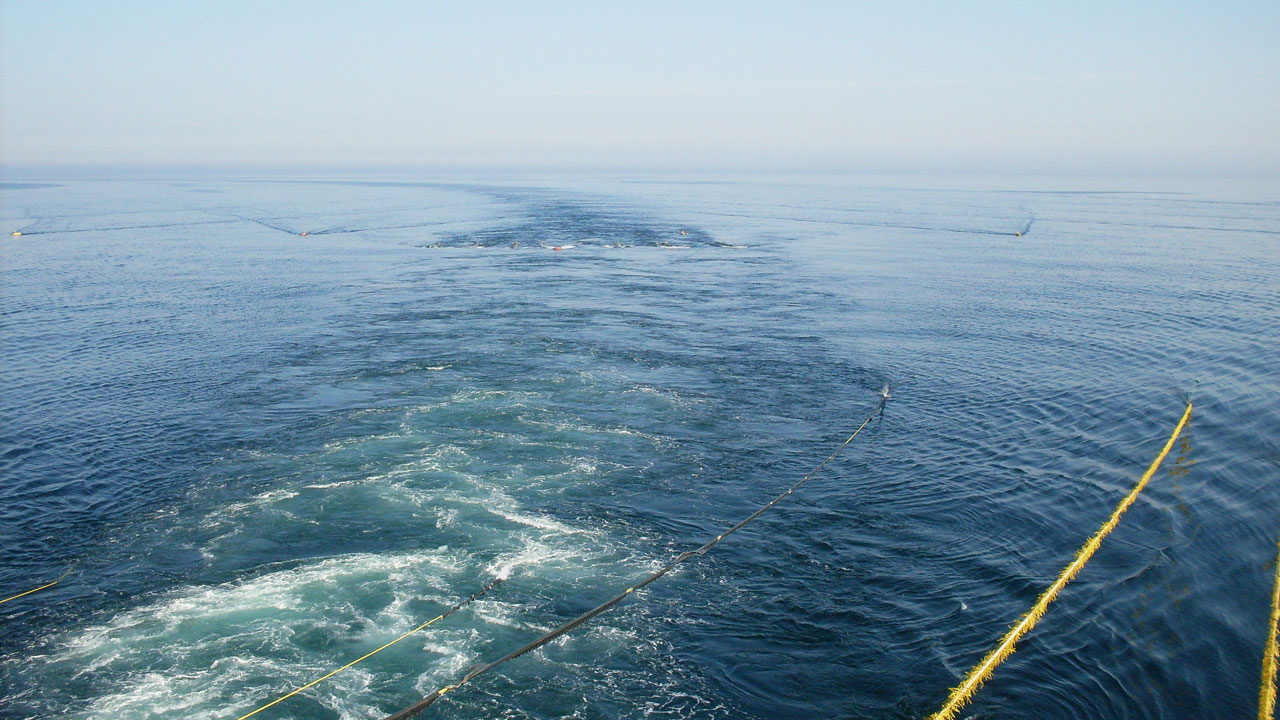
Trident carried out their 2020 Ceiba/Okume 4D M3 survey over the actively producing Ceiba and Okume fields in Block G, offshore Equatorial Guinea. This survey represented the third monitor program conducted over the Block G development complex. The baseline surveys over Ceiba and the Okume Complex were acquired in1999 and 2003 respectively, with monitor surveys in 2010 and 2014. Polarcus, using their survey vessel M/V Polarcus Naila as the streamer towing and source vessel, performed the 4D seismic acquisition service. The support vessel Venture-G and chase vessel Emswind were chartered to provide additional support.
Existing infrastructure, including the platforms “Echo” and “Foxtrot” and nearby vessel movements in the Okume and Oveng area reservoirs, needed to be taken into account when planning and executing an efficient and safe survey
Tetra Tech designed the survey plan to mitigate the risk of aborting survey lines caused by conflicting activities, avoiding extra costs and delays.
During acquisition, Tetra Tech’s survey team used our customised Osprey 3D/4D seismic survey optimisation software to generate a visual overview of the project area and log activities in real-time. The team quickly identified unforeseen issues and managed them before they impacted the operation.
Shooting plans were shared online, in real-time, keeping all parties up-to-date, informed, and importantly safe.
Tetra Tech’s seismic quality control team used 4D pre plot (NavPlan) generation, onboard 4D repeatability analysis and line planning to ensure the quality of the data, the efficiency of the survey and take into account the obstructions and movements in the area.
While the survey was taking place, Tetra Tech’s onboard acquisition specialists delivered infield current and feather analysis, line planning, source repeatability analysis and (common midpoint) CMP repeatability analysis.
During seismic acquisition, equipment failure, installation issues and operator mistakes can lead to erroneous data, or in the worst case, no data at all.
Tetra Tech’s geomatic, and seismic quality control specialists mitigated this risk for Trident by conducting technical audits of the equipment to be used in the survey, thereby assuring the positioning and acquisition data collected would meet Trident’s quality requirements.
During a seismic survey, the safety of people is always an ongoing concern. Fishing is essential to the livelihood of many people living on the coast of Equatorial Guinea. They fish with crews of two to four people in small artisanal canoes, made of dugout trees, wood planks or fibreglass, with outboard engines, using nets of 6 to 10 meters long. Constant communication in Spanish between the survey team and the local fisheries was required to protect the safety of the local people and their boats.
To ensure clear communication with local fisherman, Tetra Tech provided a Fisherman Liaison Officer (FLO) assigned to the chase boat, Emswind.
During the survey, the canoes were over shallow waters of the continental shelf and usually anchored. The fishermen were using hand lines, and they confirmed that no other types of fishing gear were being used in the project area.
During the survey, the fishermen were able to continue to fish safely.
The survey was managed successfully without incident. It was completed within the expected timeframe and budget, and Trident achieved all their operational objectives. A complete success!
Benefits
- 330 km2 full fold 4D seismic data
- 2560.52 km prime line data
- 0 health and safety incidents, environmental incidents, or damage/loss of equipment
- 11.3% infill data
- 45 days – project duration
At a glance
Client
Trident Equatorial Guinea Inc.
Completion date
2020
Location
offshore Equatorial Guinea
Services
Fisheries liaison officers (FLO), geodetics and geomatics, onshore support, operational and instrumentation auditing, regulatory affairs, simultaneous operations (SIMOPS) management, survey design and optimisation, technical management and QC, technology assessments
Connect with us. Reach out to our offshore energy experts in the UK and Europe.
The project featured in this article was undertaken by RPS, A Tetra Tech Company and originally published on RPSgroup.com. In March 2026 RPS rebranded to Tetra Tech.