Chris Patmore, technical director in hydrology, outlines the essentials of the flood risk sequential test in planning, why it guides sustainable development, and how it helps manage risk.
The NPPF sequential test helps determine where development should take place by comparing flood risks at different sites, guiding new construction towards the safest areas. To obtain planning permission, developers must demonstrate that there are no reasonable alternative lower risk sites available for development.
The role of the sequential test
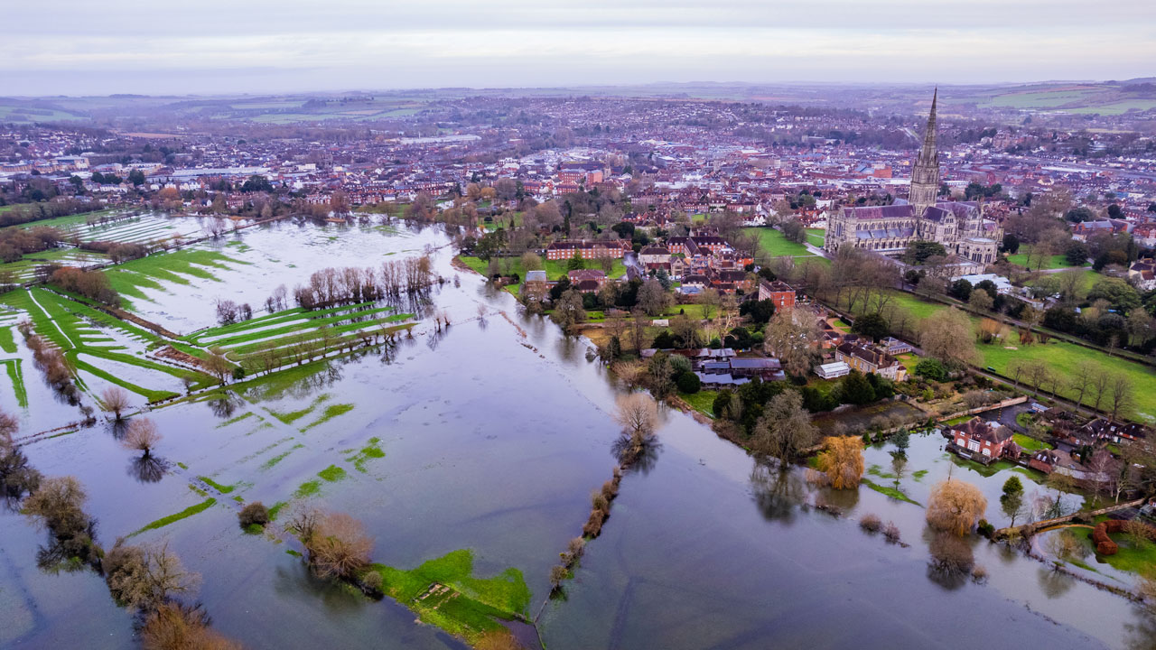
The aim of the sequential test is to steer new development to areas with the lowest risk of flooding from any source. Development should not be allocated or permitted if there are reasonably available sites appropriate for the proposed development in areas with a lower risk of flooding. A strategic flood risk assessment will provide the basis for applying this test. The sequential approach should be used in areas known to be at risk now, or in the future, from any form of flooding.
The sequential test aims to protect people and property from flooding. It is detailed in the National Planning Policy Framework (NPPF) and its accompanying Planning Practice Guidance on Flood Risk and Coastal Change (PPG), which all local authorities are required to follow when considering development proposals.
As a decision-making tool, the test is designed to ensure that sites with lower flood risk are dealt with preferentially. In cases where development is necessary in areas at higher risk of flooding (Flood Zones 2 and 3), it must be safe and not increase flood risk elsewhere. Proposed developments should also aim to reduce the causes and impact of flooding.
As part of this process, developers must demonstrate that there are no reasonably available alternative lower risk sites available where development could take place. If the Local Planning Authority identifies any, they may deny planning permission.
Defining a “reasonably available site”
The Planning Practice Guidance on Flood Risk and Coastal Change (PPG) defines reasonably available sites as:
…those in a suitable location for the type of development with a reasonable prospect that the site is available to be developed at the point in time envisaged for the development.
These could include a series of smaller sites and/or part of a larger site if these would be capable of accommodating the proposed development. Such lower-risk sites do not need to be owned by the applicant to be considered ‘reasonably available’.
Key considerations
The sequential test is often required when the proposed site is in Flood Zones 2 or 3, and if the development is deemed inappropriate for the flood zone of the site.
Covering a specific area agreed with the Local Planning Authority (LPA), it entails reviewing local plans and available evidence to identify potential alternative sites that might be safer.
The test considers other available sites based on the local plan and market availability, using data such as flood risk maps to assess and compare the flood risk of each site without considering any planned flood defenses or site-specific solutions.
Sequential test methodology
There are two elements to the test:
The first is the “technical” flood risk side where, using Geographic Information System (GIS) tools, flood risk maps are used to analyse how much of each identified site is prone to different types of flooding – such as fluvial, tidal, surface water, or reservoirs. The assessment does not include planned flood defenses or site-specific adaptations, ensuring all sites are compared equally, creating a level playing field by evaluating sites purely on flood risk data. Sites are then ranked based on flood risk, helping to identify which locations are most suitable for development.
The second element is the review of “reasonably available” as there may be long lists of sites identified as potentially better in terms of flood risk, but are not available due to other material planning issues.
About the author
Chris Patmore
Chris Patmore CEnv, DipEIA, CEng, is a technical director in hydrology specialising in flood risk and sustainable drainage design for major infrastructure projects.
With over 30 years’ experience, Chris has worked in residential developments, rail, highways, petrochemical and energy installations. Project work includes conducting sustainable drainage design and flood risk assessments for new developments, critical infrastructure, traffic studies, feasibility design, the environmental analysis of hydrology and traffic.
In addition, Chris has been advisor to a number of local authorities including Kent County Council and Northamptonshire County Council; and he appears as an expert witness on flood risk and drainage issues.