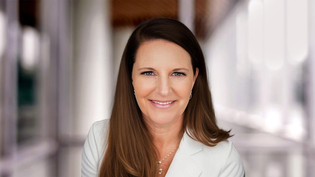
Renee Walmsley is Vice President and leads the Tetra Tech Geomatic Technologies Group, our remote sensing and geomatics experts.
Renee has more than 25 years of experience in the environmental resource management and consulting industries. She is a certified geographic information systems professional (GISP), Federal Aviation Administration (FAA) unmanned aircraft system (UAS) remote pilot, and Project Management Professional (PMP) and has worked as a project manager for 20 years. Her expertise includes using remote sensing technologies for award-winning projects around the world. Renee has managed many aspects of remote sensing, LiDAR, photogrammetry, and GIS mobile mapping, including data development and analysis, image classification, and new sensor technologies.
Renee has served on the Management Association for Private Photogrammetric Surveyors (MAPPS) Board of Directors since 2021 and was named MAPPS President in July 2025.
We talked with Renee about the role of geomatic technology in improving project efficiency and community resilience.
How do geomatic technologies support clients in making more efficient, informed decisions?
Our Geomatic Technologies Group collects, processes, analyzes, stores, and provides visual deliverables for geospatial data, including land surveying, mapping, GIS, and remote sensing data from airborne, bathymetric, and terrestrial data collections. This high-accuracy and high-resolution spatial data aids in precise planning and execution of projects, optimizes operations, reduces costs, and enhances decision-making clarity and control over complex projects.
How does your work improve the resilience of infrastructure and communities?
We bring the power of advanced mapping technologies to improve outcomes across multiple industries at locations around the world. We collect, process, and analyze topobathymetric LiDAR data with our CZMIL SuperNova to improve coastal infrastructure and enhance coastal resilience. We aid in planning and siting energy projects to support energy infrastructure. We collect mobile LiDAR data for road and communication infrastructure to enhance connectivity and safety for local populations. We use airborne remote sensing to collect high-resolution data that allows for more informed decision-making in planning and design. These efforts contribute to safer and more resilient communities and infrastructure.
What inspires you about your work?
Our Geomatic Technologies Group is always implementing new tools and technologies that improve efficiency and accuracy. Working with sensor manufacturers, software engineers, and spatial analysts, we offer solutions to our clients, not just data. Solving complex problems with high-quality data is inspiring.
What do you hope to bring to the field of geomatics in your role as MAPPS President?
MAPPS is dedicated to professional growth and provides opportunities for member firms to develop unity on policy issues, promote professionalism and ethics, and actively promote and monitor legislation, policy, and regulations that impact our profession. I hope to continue to promote the cooperative and collaborative culture for MAPPS members so we can strengthen advocacy and support continued innovation for our growing and professional industry.
We offer solutions to our clients, not just data. Solving complex problems with high-quality data is inspiring.