Tetra Tech supported the Netherlands Enterprise Agency (RVO) to advance offshore wind planning for search areas 6/7, which covers approximately 4,600 square kilometres in the North Sea.
Challenge
The Dutch Ministry of Economic Affairs has designated search areas 6/7 for the potential development of approximately 19 gigawatts of new offshore wind capacity. To help identify suitable development areas, regional geological information in the public domain needs to be amalgamated, assessed, and synthesised. This information will inform three key activities during the next phase of site investigation and characterisation to de-risk offshore wind farm development.
The activities are:
- Refining the offshore wind search areas to smaller individual sites
- Planning and designing future geophysical site surveys and geotechnical site investigations
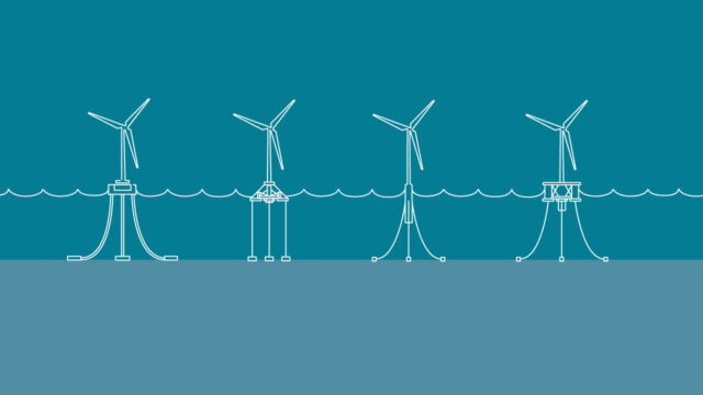
- Front-end engineering design (FEED) decisions, including wind turbine foundation design concepts
The report and data deliverables were released publicly to help offshore wind developers understand ground conditions and assess potential offshore wind development permits at an early stage.
Offshore wind plays an important role in the transition to a sustainable, independent and resilient Dutch energy system.
Solution
Using our Leading with Science® approach, Tetra Tech’s team of specialists, including engineering geology, geotechnics, geophysics, geohazards, and geographic information system (GIS) consultants, provided valuable insights to the expected ground conditions of the site.
The team described the area’s geological framework and stratigraphy and developed preliminary soil provinces and profiles. This key project deliverable detailed the interaction of the geological units, their thicknesses across the site, and their geotechnical properties.
The report and associated digital deliverables prepared by Tetra Tech support the requirements of the Dutch Ministry of Economic Affairs, Netherlands Enterprise Agency (RVO), and provide valuable publicly available information to help offshore wind developers decide which development permits to bid for. The study will support the future development of approximately 19 gigawatts of offshore wind capacity and contribute to a more sustainable energy future.
Benefits
- Assessed seabed and subsurface geoscientific information for an area of approximately 4,600 square kilometres
- Delivered a subsurface software project with palaeoenvironmental interpretation
- Delivered geospatial information as a geographic information system (GIS) package
Connect with us. Reach out to our offshore energy experts.