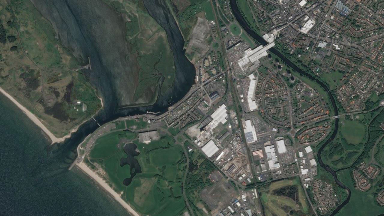
Tetra Tech delivered end-to-end topographic, underwater and utility surveys, plus a timber wharf condition report, to support North Ayrshire Council’s Irvine Maritime Mile regeneration—enhancing access, safety, and marine tourism potential along the Irvine Harbour and Ardeer Peninsula.
Challenge
In order to inform detailed design proposals for the Irvine Harbour area, North Ayrshire Council required bathymetric and geophysical surveys of the tidal harbour area adjacent to the quayside and wharf, topographic and underground utility surveys of the landward areas, including the quayside, wharves and slipways, and a Timber Wharf condition report.
Tetra Tech was commissioned to undertake the entire survey project and produce the subsequent survey reports whilst adhering to strict health and safety rules working on and near tidal water.
Solution
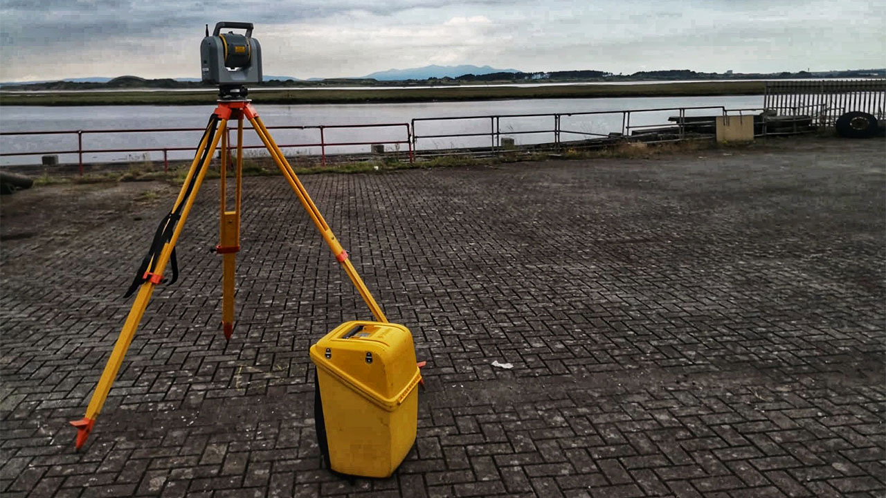
Our experienced Geomatics team successfully completed all the topographic, underground utility, and bathymetric surveys to a very high standard using the latest technology including the Trimble SX10 and Seafloor Hydrone. Our talented underwater diving team competed the timber wharf condition survey and report.
In order to complete the final geophysical survey of the Harbour, we worked collaboratively with external partners who used multi-beam technology to deliver the sub-bottom profiling survey.
At the start of this project, a consultative approach was taken to the health and safety aspects of this contract. All site-specific Risk Assessments and Method Statements were explained to the Council along with a detailed explanation of how any risks would be mitigated. This ensured that the entire project was underpinned with the highest safety standards.
Benefits
As trusted partners to North Ayrshire Council, our strong relationship, coupled with our extensive surveying capabilities has allowed us to deliver a high value service to the Council, whilst working seamlessly with an external contractor to meet their contract requirements. Following the detailed data captured from our surveying activities, data has been analysed and concluded in the creation of detailed 2D and 3D autoCAD drawings, 3D bathymetric and sub-bottom profiling drawings, detailed survey reports, and a timber wharf condition report.
At a glance
Client
North Ayrshire Council
Location
Scotland
Services
Bathymetric surveys, sub-bottom profiling, topographical surveys, underground utilities surveys, wharf condition report
The project featured in this article was undertaken by RPS, A Tetra Tech Company and originally published on RPSgroup.com. In March 2026 RPS rebranded to Tetra Tech.